OMap Mapper day 7 and done
23rd February 2014Since some hours back OMap Mapper is published at Github, some hours of coding and 44 commits. 50% PHP, 20% JavaScript and 30% CSS, Github got the commits graphs for those who is interested.
If you would like to download and install it, you should note that you will probably need to change upload_max_filesize in php.ini and that I filed in some issues in the bug tracker.
Before I can recommend this to non developers I will need to add delete/edit support and exporting/embedding to the list of features. By the time I will also write a installation guide for non-developers and publish it here at my blog and on the OMap Mapper wiki. Hopefully orienteers will start contributing to the Open Street Map project too.
Third-party projects that the project uses includes:
Leaflet JavaScript library for interactive maps the best map library you can work with!
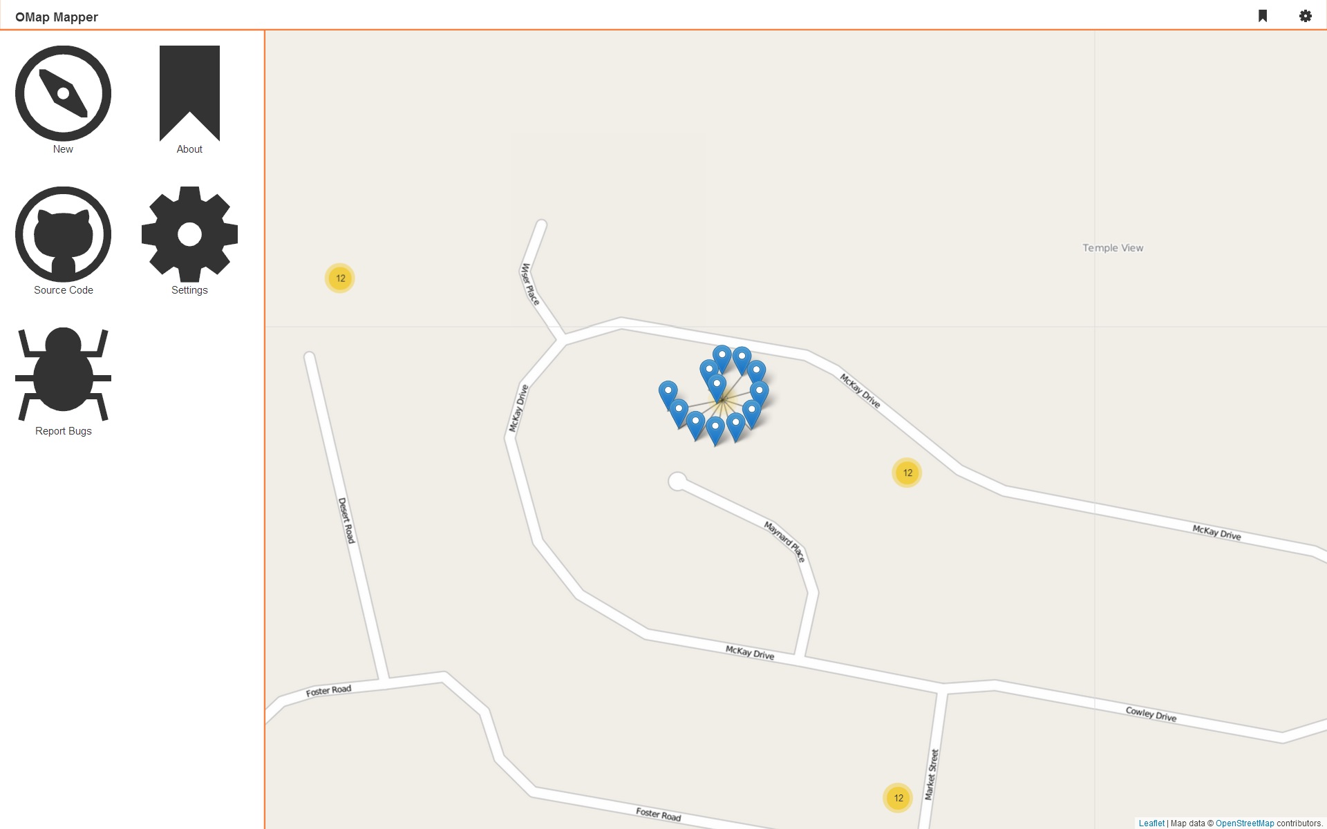
Leaflet Markercluster A Leaflet plugin for dealing with marker clusters, nice animations and easy to customize.
Open Street Map Provides the best map data on the web, and is one of the largest open data projects in the world.
IcoMoon Icons Great and nice looking icon font.
All the blog posts about OMap Mapper:
- OMap Mapper a project during the holidays
- OMap Mapper day one
- OMap Mapper day two
- OMap Mapper day three
- OMap Mapper day four
- OMap Mapper day five
That’s it, had a great time creating this and hopefully it will continue to be improved over time. This project will result in more future blog posts and other stuff.